Mt. Shasta 14,179 feet
Mt. Shasta: Fifth largest Peak in California*
Summit Fever Challenge 2014
3rd Summit
June 17, 2014
By Stefanie Notte
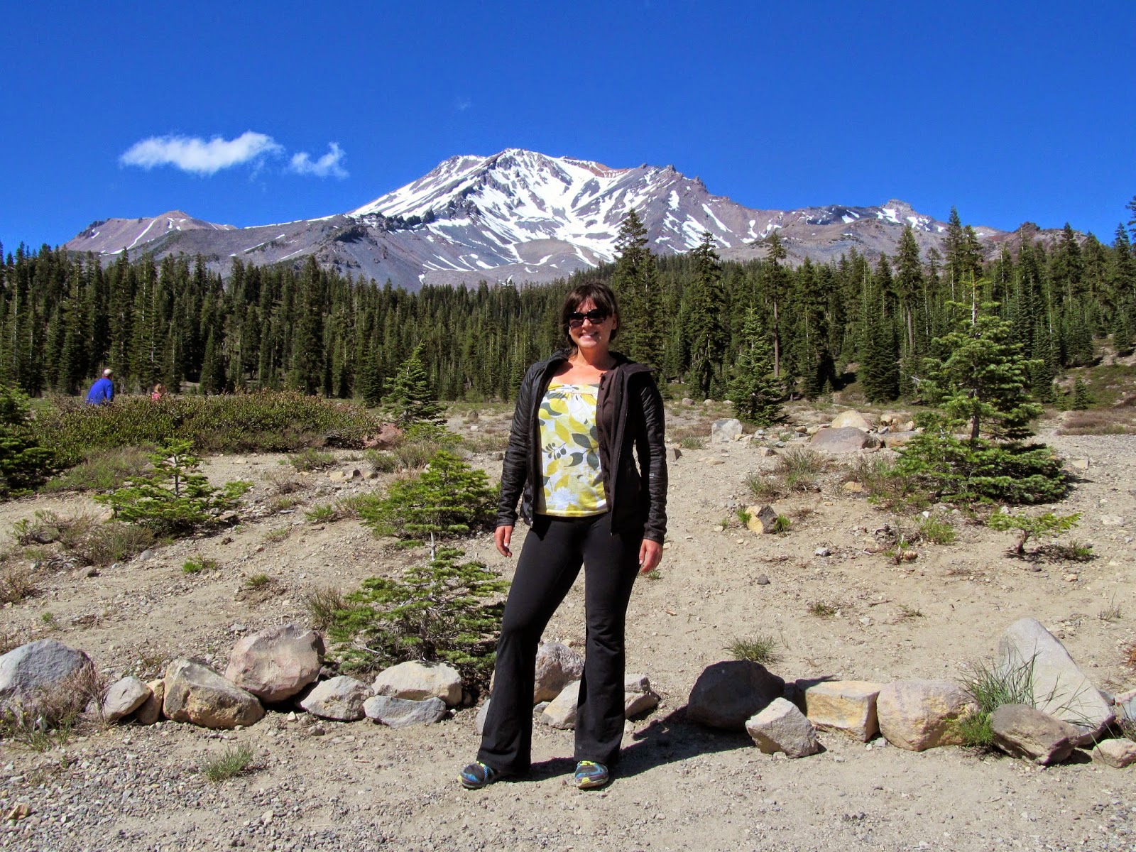
Well, well, well. I seem to be making a habit of soloing up mountains these days. Mt. Shasta is by far one of the most technically challenging adventures I've endured to date. The summit is not some crazy amount of distance, only 11 miles round trip, but there is a gain of over 7000 feet of elevation which was done mostly in crampons. That was an experience in itself! This gorgeous mountain is ranked a Class 3 (or a 2+ depending on the source) and is the 2nd largest mountain of the Cascade Range, coming in only behind Mt. Rainier (14,411 ft).
 |
| Mt Shasta |
So real quick, to premise the Summit Fever Challenge, my plan is to summit all of the California 14ers this summer, finishing off with the full JMT approach from YNP to Mt. Whitney (14,508 ft), the highest peak in the contiguous United States (and the only 14er I've summited before this year). I'm not sure where this love of climbing mountains came from, but for those who think this is extreme or crazy, or even worse: unattainable for themselves, IT'S NOT! Anyone can do it, it's just one foot in front of the other, with the most rewarding feeling at the top. You've heard of a "runner's high" before, right? Summiting is orgasmic compared to that. There really are no other words to describe it.
 |
| condensing of gear |
 |
| the gear |
At the gear shop in town, The Fifth Season Mt. Shasta (and the only place to rent crampons), the guy told me to start early, like at midnight, because it takes 4-5 hours to Helen Lake and then another 4-5 hours to the summit via Bunny Flat -->Avalanche Gulch. I started my climb at 1:30am from Bunny Flat (6,950 ft). It was 33 degrees outside, and was a quick and easy trek to Horse Camp (1.7 miles in and 7900 ft) and I was amazed to see people camping here. At 2:20am, I strolled by these campers whom were all awake and freezing their butts off in the middle of the night. Yikes.
There is something to be said about hiking in the dark, it's pretty awesome. All you have is your uni-beam of light and nothing to look at except for the ground. Well, in this case, the "honeymoon" from Friday the 13th was still bright as ever and the sparkling stars were gorgeous, but every time I looked up, I seemed to have tripped over a rock. This is not uncommon even when I'm looking down. The other benefit of trekking in the dark is that you cover miles of terrain and gain some pretty serious elevation without really noticing. And if you are on an "out and back" hike, you have something to look forward to on your way to the car, aside from getting to the car itself!
And this is worth a quick mention: Mt. Shasta is a "pack out your poo" mountain. They provide bags at the trailhead that consist of 1) a somewhat large piece of paper with a bullseye on it, specifying to aim your poo in the center, 2) two lunch sized paper bags with some kitty litter in them which you are supposed to place your folded up poo paper in, and double bag it--yes, in paper bags, and 3) a thin Ziploc-esque bag that the double bagged, kitty litter poo target goes in. It may be TMI but I naturally suffer from "poo anxiety" and well, simply put, if it doesn't feel right, it's not happening. This may be one of the few times my poo anxiety worked in my favor.
My next destination was Helen Lake (10,443 ft) and I walked clear passed it without noticing.... This was where my first planned break was supposed to be, however, there was no point in stopping now since the hose to my (full) 3 liter Camelbak was frozen solid and the wind was starting to get out of control. And, don't let it deceive you, you can't see the lake! Instead, there's a bunch of bunkers in the snow for tent camping, probably set up around said lake. I noticed this camp when I was maybe at 11,000 ft, when the sun was starting to illuminate the sky: just before 5am.
 |
| Helen Lake |
 |
| Red Banks |
 |
| The chute, incredible rock formations |
 |
| in the chimney itself, looking up |
 |
| top of the chute, looking down |
Moving along, after gaining the 3000 ft of elevation from the lake, and moseying up the next section, I decided Misery Hill should be renamed The Red Carpet. This was the last major elevation gain before the summit push and was not nearly as direct of a climb as those last few hours (welcome back, switchbacks!). The top of the hill is about 13,840 ft and once you are here it's less than an hour to the summit with only a mere 500 feet (elevation) to go.
 |
| the summit |
 |
| the summit |
 |
| Uncle Pat and me |
 |
| descending the Mt. Shasta way |
It wasn't until after Helen Lake where glissading was a possibility for me; I descended more than 1500 ft of elevation sliding down Shasta on my butt. It was almost worth going back up to do it again, it was so fun! But, unfortunately, my new Lowa mountaineering boots left an amazingly huge blister on the back of my right heel otherwise I would have contemplated it.
As I was rolling through Horse Camp I looked as though I was "ridden hard and put away wet:" limping from the hole in the back of my foot, wearing all of my layers because I was too lazy to carry them, and swinging my ice axe because it was fun. There were lots of people here now, and this little eight year old girl whispered to the grown up to her left, "look Mom, she's a mountain climber!" Whoa, hold up! Little did this girl know she just made my day. A mountain climber, huh? I never considered myself one before, my only previous assessment of a mountain climber was on The Price Is Right, you know, that game with the yodeling dude who falls off the ledge because you don't know the price of a gallon of Purell Hand Sanitizer? But shit, she's right, I AM a mountain climber! I like that.
8 year olds, Dude.
Dear Mt. Shasta, you are a phenomenal mountain. Out of the three major peaks I've bagged this year, you are the one that I can't wait to climb again. I loved the new challenges you provided me, even though your burly winds were totally unnecessary. I cannot wait to come back.
This trip started at 1:30am and ended at 4:00pm.
*more than 300 ft prominence
sources:
http://www.summitpost.org/avalanche-gulch/155406
http://timberlinetrails.net/ShastaMain.html
posted by Unknown @ June 18, 2014
0 Comments
![]()

0 Comments:
Post a Comment
Subscribe to Post Comments [Atom]
<< Home